Guided by Grain: Paper Maps and Letterpress Journals on Alpine Trails

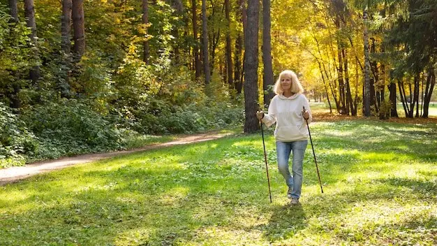
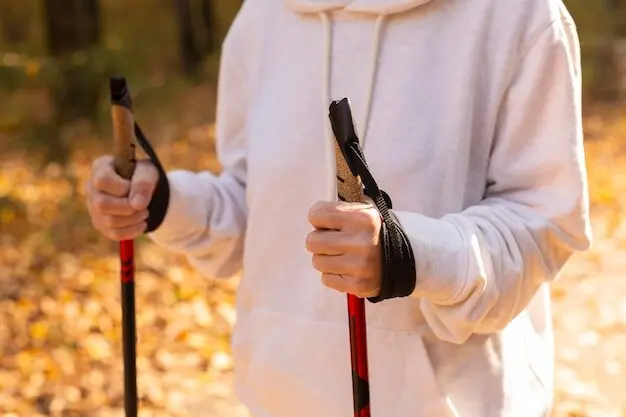
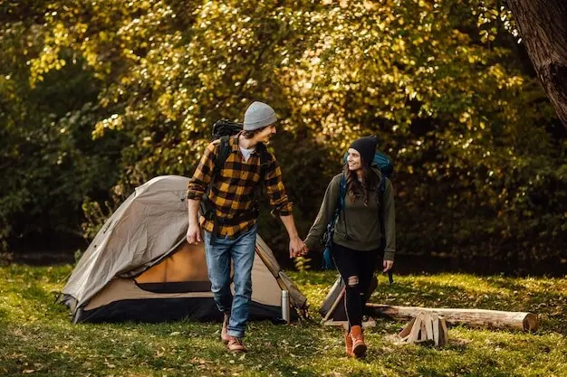
Today we explore paper maps and letterpress journals for tactile wayfinding in alpine treks, celebrating tools that keep working when batteries fade and winds rise. Discover how fibers, ink, and subtle impressions become reliable companions, anchoring attention, memory, and safety through cold dawns, whiteouts, and long ridgelines while turning each step into a story you can hold.
Why Tactile Tools Matter Above Treeline
When storms build and temperatures drop, touch becomes a lifeline. Paper maps and letterpress journals function without power, unlock calm through ritual, and invite deliberate decisions. They slow frantic minds, encourage precise observation, and protect against digital tunnel vision. In fragile alpine zones, that steadiness helps keep feet on safe rock, notes aligned with reality, and navigation grounded in terrain rather than assumptions.
Choosing Durable Paper and Inks
Materials determine whether notes survive sleet, sweat, and pack abrasion. Waterproof yet writable paper resists smearing while welcoming graphite. Cotton rag stocks handle letterpress pressure with graceful bite, preserving texture. Pigmented inks and soft pencils maintain contrast at altitude. Together they form a kit you can trust, turning rough travel into collected evidence rather than scattered fragments of intent.
Page Layout that Anchors Memory
Structure directs attention. A top band for conditions, a left column for waypoints, and a lower panel for decisions create habitual checkpoints. Reusing the same layout every outing builds muscle memory, so even under pressure, your hand knows where to place critical details before your mind catches up, capturing clarity while the moment is still fresh.
Custom Wayfinding Icons and Stamps

Tiny relief icons—cairn, pass, tarn, hut—printed with tactile bite speed scanning and cue consistent language. Pair them with a small rubber stamp kit for repeated features like safe crossings or avalanche observations. Over time, your pages accumulate patterned signals that compress complex terrain into a personal shorthand, instantly legible when winds scream and choices narrow.
Printed Scales and a Tiny Compass Rose
Include a slim metric and imperial scale along the gutter, plus a discreet compass rose with magnetic declination notes. These fixtures eliminate rummaging for separate tools. With a pencil and the journal’s own edges, you can estimate distances, bearings, and drift, turning each pause into actionable data rather than vague impressions that evaporate with effort.
Field Techniques for Reliable Map Use in Weather
Method matters as much as materials. Protective sleeves keep sheets readable, while intentional folds expose just the needed quadrant. Grease pencils mark wet surfaces and erase with a sleeve. Waxed edge codes and tactile tabs quicken orientation. Practiced gestures—unfold, align, confirm, decide—become choreography, preserving warmth and attention while mountains test your patience and judgment.
Pre-fold maps along logical route corridors so only essential panels appear in the wind. Mark fold edges with light pencil ticks that align like runway lights when opened. This repeatable pattern saves seconds at junctions, reduces map wrestling, and lowers exposure time for hands, keeping momentum steady without sacrificing the careful verification that prevents wrong turns.
Cut tiny, deliberate notches on the north edge and wax-coat the east. With gloves on, orientation becomes instantaneous by touch alone. Combine with a small corner legend indicating declination and contour interval. These microscopic customizations minimize visual hunting, empowering quick checks when sleet needles your cheeks and patience wears thin across exposed ridges.
Red light preserves night vision but mutes contrast. Thicken crucial symbols beforehand, then reinforce with a grease pencil that reads boldly under crimson. Circle bailout options and time gates. When darkness compresses space, those buoyant marks pull you forward, converting uncertainty into a measured sequence of attainable steps, even as cold creeps into every seam.
Narrative Wayfinding that Guides Your Next Step
Landmark Language that Locks In
Write like a field naturalist: “granite whale spine, lichen-bright, thirty paces west of meltwater thread.” Sensory-rich phrasing outlives GPS breadcrumbs because it binds memory to texture, smell, and sound. When storms erase horizons, that layered language reappears, pointing to the real boulder, the true saddle, the exact shadowed notch you meant to trust.
Micro-Sketches that Clarify Choices
Fast thumbnails of junctions with arrows, slope hatching, and X marks for hazards compress minutes of debate into seconds of recognition. Accuracy matters less than relational shapes: creek left of moraine, cornice overpass, safe pocket behind krummholz. Re-encountering that sketch on-slope aligns your body with the remembered geometry, reducing hesitation when exposure heightens nerves.
Timed Notes, Breathing Pace, and Fuel Cues
Log elapsed time between landmarks with brief breath-rate or step-count notes. Add fuel reminders keyed to effort, not miles. These tiny measurements convert feelings into forecasts, predicting whether a detour is wise before fatigue fogs judgment. Later, patterns emerge, refining turnaround times and teaching exactly when ambition must yield to daylight and warmth.
Safety, Sharing, and Community Rituals
Paper creates accountability and connection. Leave a route card with trusted friends, photograph key pages before departing, and debrief on return, annotating surprises. Trade letterpress postcards with huts, building a quiet network of tactile wisdom. Share scans, invite edits, and subscribe to collective updates so your next journey begins with many careful hands helping.
All Rights Reserved.